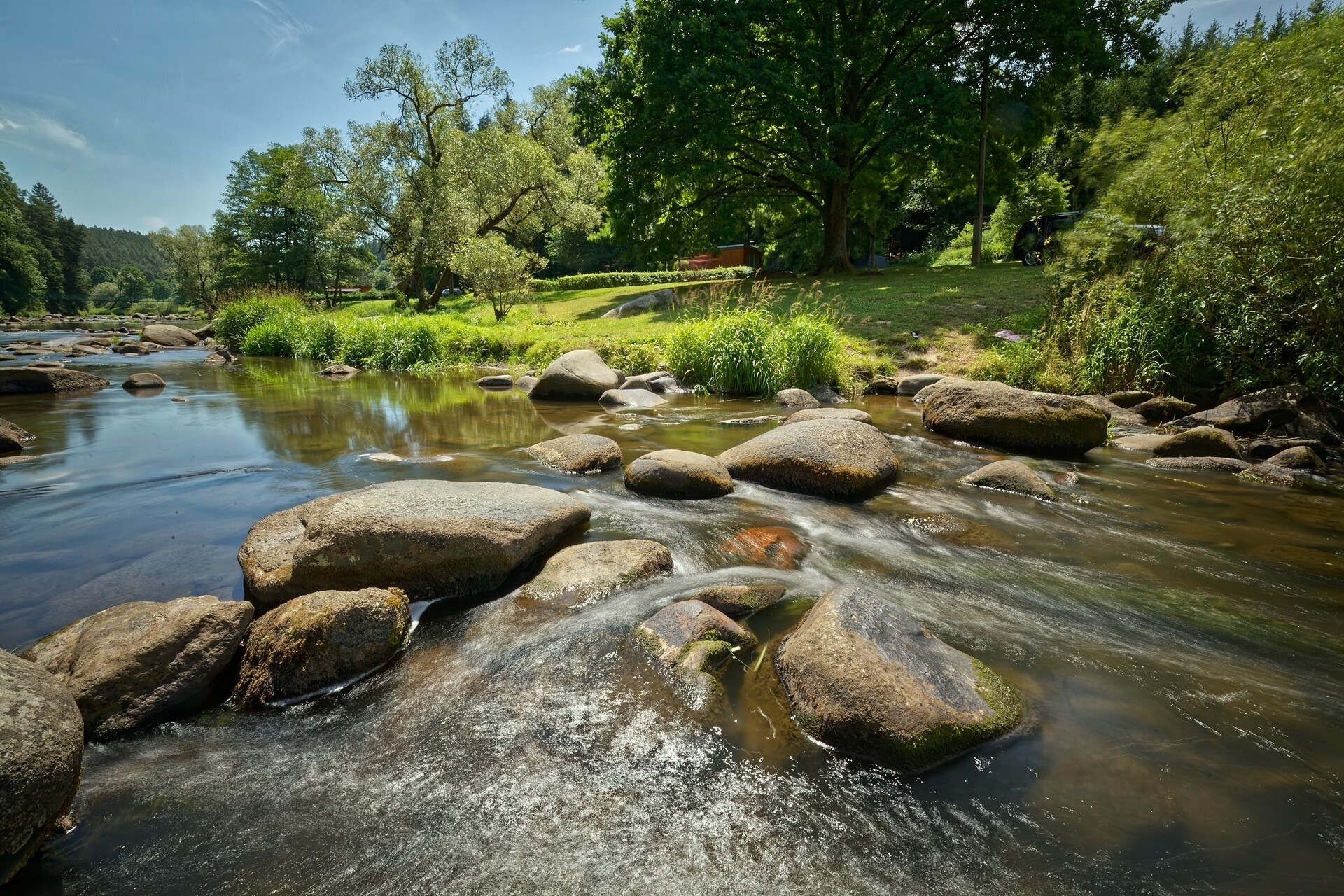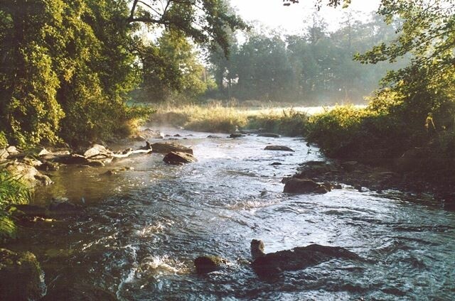
THE LANDSCAPE AROUND THE SÁZAVA RIVER
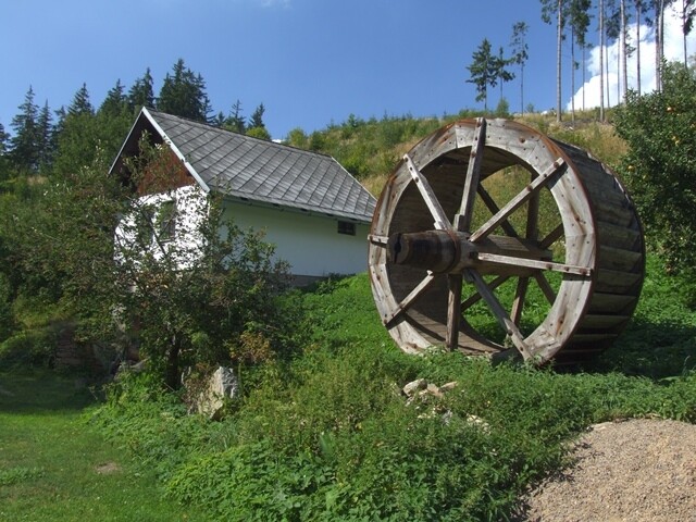
The Sázava River shapes the unique character of the Vysočina Highlands. The trails around it will lead you, for example, to the former water mill - the šlakhamerskému hamr Hammer Forge or to the Bohemian-Moravian border.
Contact
náměstí Republiky 24
Žďár nad Sázavou
District: Žďár nad Sázavou
591 01
| Route Length | 37,7 km |
Route
Route description or Where to go
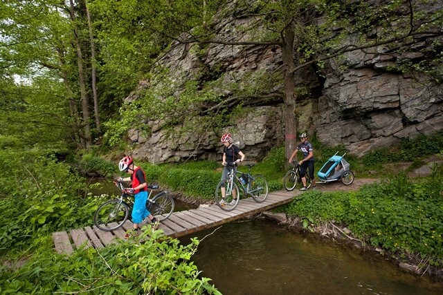
Hamry nad Sázavou is the starting point for a 35 km long bike ride. From here, follow the red marked trail towards the Pod Štěnicí crossroads. From the chapel, descend towards the Sázava valley, where you will be guided by the Hamerský Walking Circuit (yellow signs with the letter H). Here you will see šlakhamerský hamr Hammer Forge and after climbing above the valley you will come across the so-called end of the world, where the border between Bohemia and Moravia lies. From the top of Peperek hill you will descend to the villages and towns of Velká Losenice, Nové Dvory, Buková and Nížkov up to Rosička.
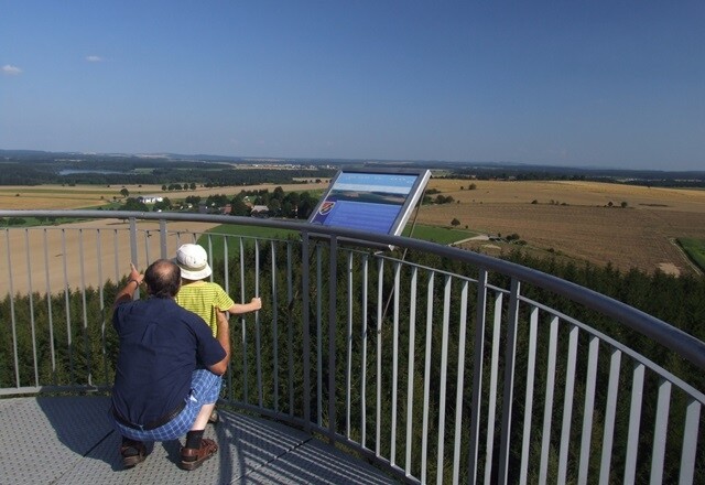
At Rosička there is a 42 metre high observation tower of the same name. Once you have seen it, go to Matějov and Nový Veselí, where there is a yellow marked trail to Holetín and a blue marked trail leading to the Babín - pond crossroads. Leave the trail here, take the paved road and follow the yellow marked trail to a system of ponds. Here again you will see a sign for the Hamerský circular trail.
TIP: Hamry nad Sázavou is only a short distance from the town of Žďár nad Sázavou, where you can find museums with various expositions, the Kingdom of Model Trains or the famous Green Mountain with the Pilgrim Church of St. John of Nepomuk.
Photo: archive of Vysočina Tourism, Daniel Balogh, Libor Bukáček